Los códigos postales del municipio de Pedro Muñoz, provincia de Ciudad Real, son:
13620 –
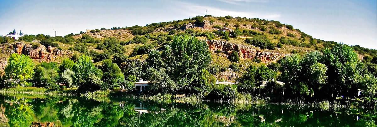
El mapa geográfico del municipio de Pedro Muñoz, Ciudad Real, España
13620 –
El mapa geográfico del municipio de Pedro Muñoz, Ciudad Real, España
| Datos geográficos | |
|---|---|
| Latitud | Longitud |
| 39.402922500 | -2.946691460 |
Predicción en |
|||||
| 0h-24h | 0h-12h | 12h-24h | 0h-24h | 0h-12h | 12h-24h |
| aa | bb | ||||
| 0h-24h | 0h-12h | 12h-24h | 0h-24h | 0h-12h | 12h-24h |
| aa | bb | bb | |||
| 0h-24h | 0h-24h | 0h-24h | |||