Los códigos postales del municipio de Castellote, provincia de Teruel, son:
44560 – 44562 – 44563 – 44565 –
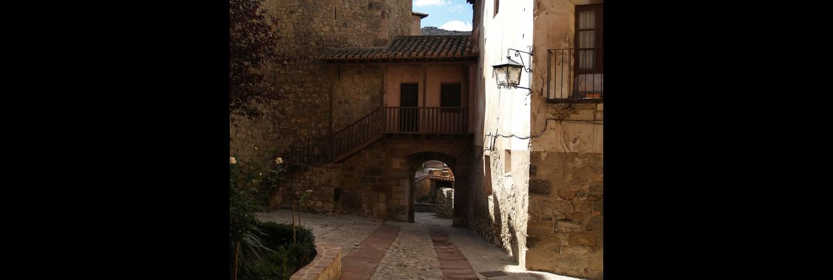
El mapa geográfico del municipio de Castellote, Teruel, España
44560 – 44562 – 44563 – 44565 –
El mapa geográfico del municipio de Castellote, Teruel, España
| Datos geográficos | |
|---|---|
| Latitud | Longitud |
| 40.800319890 | -0.319965940 |
Predicción en |
|||||
| 0h-24h | 0h-12h | 12h-24h | 0h-24h | 0h-12h | 12h-24h |
| aa | bb | ||||
| 0h-24h | 0h-12h | 12h-24h | 0h-24h | 0h-12h | 12h-24h |
| aa | bb | bb | |||
| 0h-24h | 0h-24h | 0h-24h | |||